
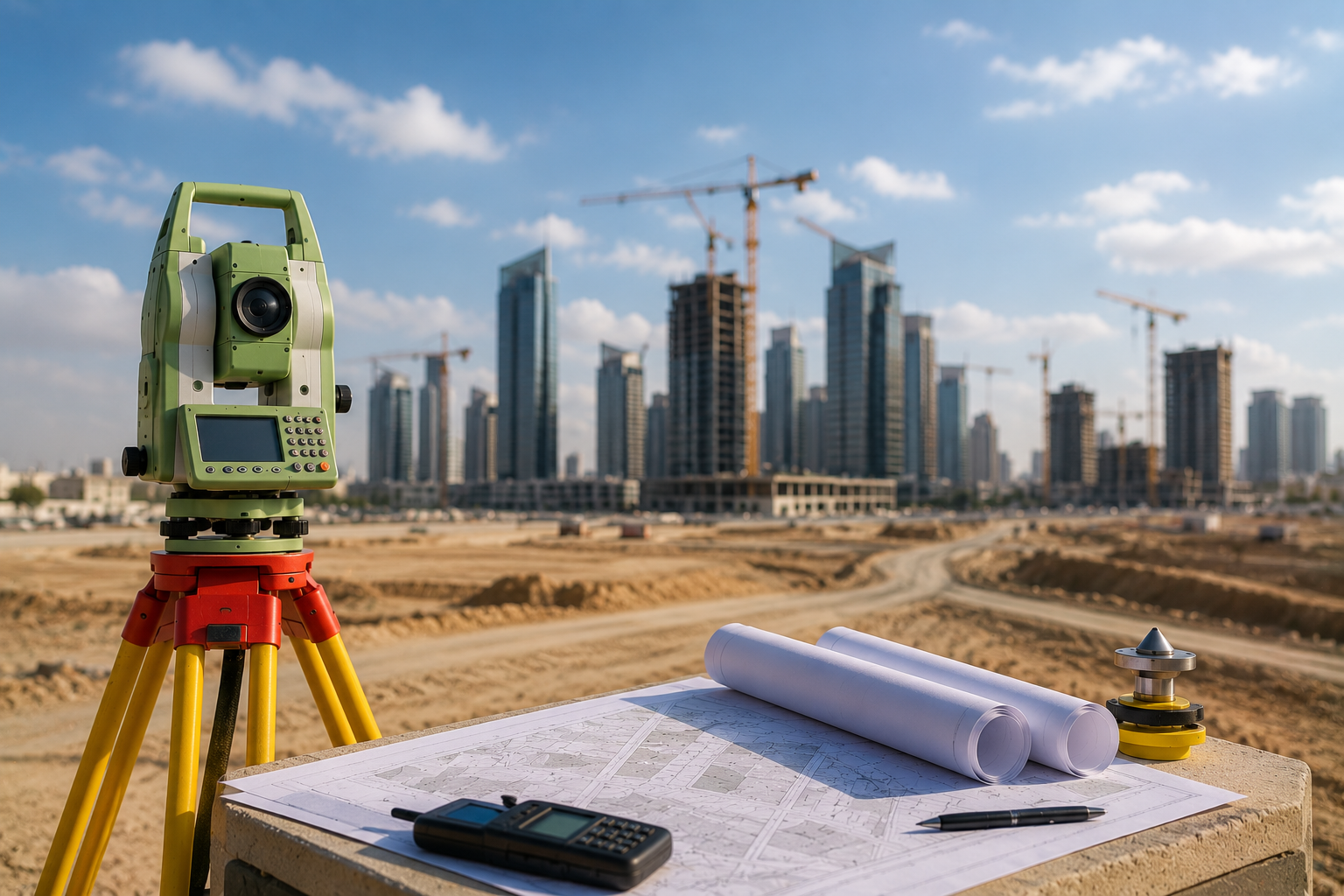
What Is Land Surveying?
Land surveying is one of the most essential steps in any real estate or engineering project. It involves collecting precise data about a plot of land or property, including boundaries, areas, coordinates, topography, and existing buildings, using the latest modern surveying equipment and technologies.
Land surveying is used in many real estate and engineering services, such as issuing building permits, updating property deeds, surveying decisions, land subdivision and consolidation, and residential unit subdivision, making it a fundamental element for ensuring project success and avoiding future errors.
At Kayan Smart Engineering Consultancy we provide land surveying services in Riyadh with the highest levels of accuracy and professionalism, using the latest engineering equipment and a certified surveying team.
Why Is Land Surveying Important?
Most real estate and engineering procedures depend on the accuracy of surveying data, so carrying out a professional land survey greatly helps in:
- Accurately defining the boundaries and area of a property.
- Avoiding property disputes and issues.
- Facilitating the issuance of permits and licenses.
- Supporting real estate development and investment projects.
- Improving the accuracy of engineering designs and plans.
- Ensuring the project complies with municipal requirements and the Saudi Building Code.
Uses of Land Surveying in Real Estate Projects
Land surveying is part of many important services and procedures, including:
Issuing Building Permits
Most building permits require an accurate land survey that shows the boundaries and area of the land.
Updating Property Deeds
Land surveying helps update the data of old property deeds and adopt the latest coordinates.
Surveying Decisions
It is used in issuing approved surveying decisions for land and properties.
Land Subdivision and Consolidation
It helps in dividing or consolidating land in accordance with approved regulatory plans.
Residential Unit Subdivision
It is used to accurately determine the areas of units and shared facilities.
Steps for Carrying Out a Land Survey in Riyadh
The land surveying process goes through several technical stages to ensure the highest level of accuracy and quality:
1. Site Visit
The surveying team inspects the site and sets up the reference measurement points.
2. Field Data Collection
GPS and total station equipment is used to measure boundaries, coordinates, and areas.
3. Data Processing and Analysis
The data is processed and converted into accurate plans and engineering drawings.
4. Preparing Plans and Reports
The land survey and the technical reports required for official use are prepared.
5. Delivering Approved Files
All files are delivered in approved formats, ready for use in real estate and engineering procedures.
The Latest Technologies Used in Land Surveying
Modern surveying relies on advanced technologies that help achieve the highest levels of accuracy, including:
- High-precision GPS equipment.
- Modern total station instruments.
- 3D scanning.
- Digital coordinate systems.
- Data analysis and engineering surveying software.
The Kayan Smart Engineering Consultancy team uses the latest of these technologies to ensure accurate and professional results.
The Best Land Surveying Office in Riyadh
If you are looking for the best engineering office to carry out land surveying in Riyadh, Kayan Smart Engineering Consultancy provides integrated engineering and surveying services with the highest level of quality and accuracy.
Why Choose Kayan Smart?
- A certified engineering office in Saudi Arabia.
- Extensive experience in surveying and land surveying.
- Use of the latest equipment and modern technologies.
- Speed in carrying out work and delivering reports.
- High accuracy in measurements and coordinates.
- Full compliance with the requirements of official authorities.
Services Related to Land Surveying
Kayan Smart Engineering Consultancy provides a comprehensive range of engineering and real estate services, including:
- Issuing Surveying Reports
- Issuing a Surveying Decision
- Updating Old Property Deeds
- Land Subdivision and Consolidation
- Residential Unit Subdivision
- Issuing Building Permits
- Engineering Supervision of Projects
How Does Land Surveying Help Projects Succeed?
Accurate land surveying directly helps improve the quality of real estate and engineering projects, as it gives engineers and developers precise data that supports sound planning, reduces errors, and speeds up execution, saving time and costs in the long run.
Conclusion
Land surveying is one of the most important foundations on which modern real estate and engineering projects depend, as it contributes to documenting property data, facilitating official procedures, and ensuring projects are executed to the highest standards of accuracy and quality.
If you need an accurate, approved land survey in Riyadh, the Kayan Smart Engineering Consultancy team is ready to provide the best engineering and surveying solutions with the highest level of professionalism and accuracy.